
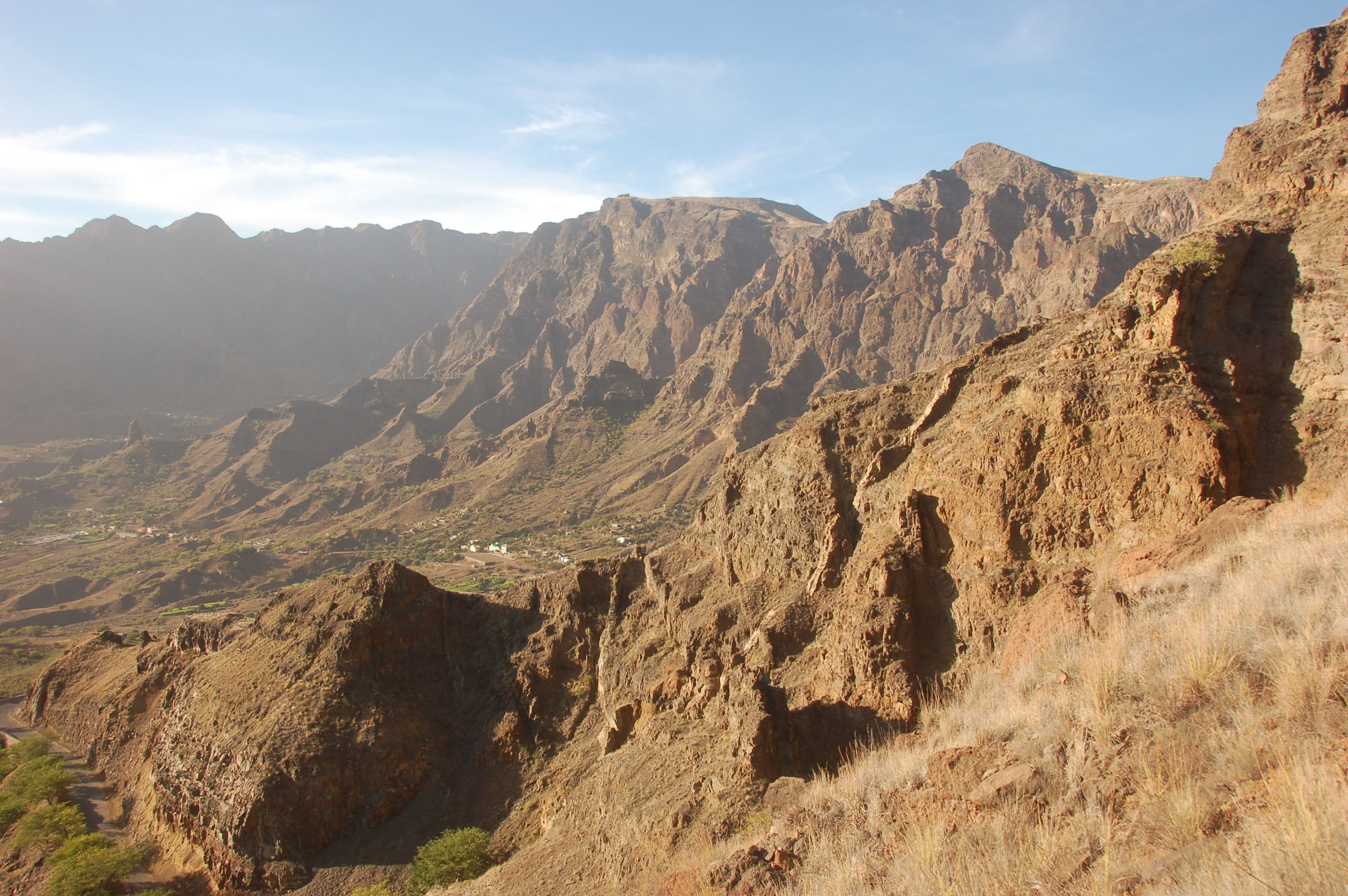
For this third edition, the Cabo Verde Treg consists of five stages ranging from approximately 11 to 31 km, covering a total distance of 130 km and 9,500 m+ of elevation gain. A genuine mountain trail, ideal for preparing for the Diagonale des Fous or any other ‘mountain’ ultra-trail. All stages are self-navigated using GPS, which adds an extra thrill to this extraordinary adventure:
- Stage 1 – Tarrafal – Monte Trigo – 11 km – 450 m+ – to get your legs going
- Stage 2 – Monte Trigo – Alto Mira – 30 km – 2,250 m+
- Stage 3 – Alto Mira – Cha de Igreja – 26km – 1,700m+
- Stage 4 – Cha de Igreja – Coculi – 27km – 2,250m+
- Stage 5 – Coculi – Paul – 28km – 2,700m+
Along the route, checkpoints will be located approximately every 15 km. These will provide runners with:
-
- water
-
- mattresses for resting if required
-
- medical assistance if needed
Satellite trackers will ensure the safety of competitors, who will be able to send an alert in the event of an extreme emergency, whilst also enabling the organisers to locate all competitors at all times. Supporters and/or family members of the runners will also have a link to follow the race live.
In a sense, you will be crossing the island of São Antão from west to east. You’ll pass through three types of landscape during your run: arid, moon-like scenery, followed by a feeling of being in Réunion with steep, rugged trails cut off from the world, before finishing with landscapes reminiscent of Tuscany and its cobbled roads lined with yew trees reaching towards the sky. You’ll also pass by coffee plantations and discover immense palm trees silhouetted against the blue sky.
You’ll need to be prepared for steep gradients and take care on a few dizzying descents.
All stages are open to walkers and/or experienced mountain hikers, with time limits calculated to ensure they can complete each stage. Where necessary, on certain stages, we may arrange for competitors to complete a half-stage.